© Rock & Ride

© Rock & Ride

© Rock & Ride

© Rock & Ride
Mountain Biking in the Llevant National Park
An intermediate level ride requiring previous biking experience
This ride takes place in the beautiful Llevant National Park, north of Arta. The ride is of medium difficulty and will require some previous mountain bike fitness and a good quality bike with suspension. At the present time mountain biking is permitted within the park, but please keep to designated trails. Walkers have right of way over bikers.
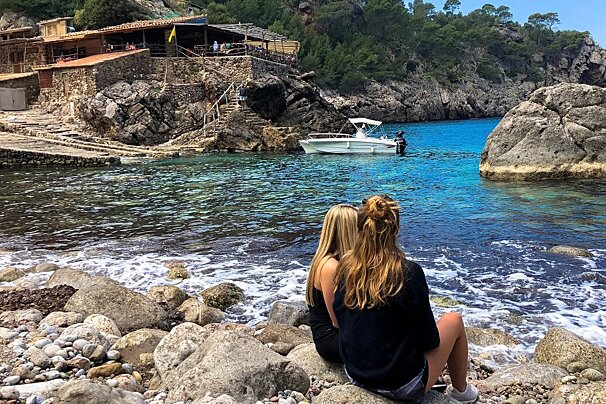
The ride visits a very secluded beach only accessible on foot or by bike. This is a great area to explore with numerous options for rides extending as far as Cala Mesquida and Cala Ratjada on the east coast. It is helpful to have a bike computer in order to know how far you have travelled for navigation purposes.
To reach the start follow signs from Arta to Ermita de Betlem and then Park Natural. The ride starts from the car park at the visitor centre. Good maps of the area are freely available from the visitor centre.
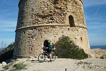
Start: (All distances are measured from the car park and are approximate). From the car park turn right and follow the road uphill past the visitor centre. Continue on this road / track for 4.5km until a path on the right (signed GR222 Arenalet des verger). We will return to this point later but for now continue straight ahead towards the transmitters and a great view of the Alcudia bay. Return to the junction 7.2km (signed GR222 Arenalet des verger) take this and follow until the beach is reached after 11.5km. Follow the track to the right, this shortly turns inland and climbs uphill. After 13.2km a small junction is reached on the left signed, Torre de’Albarca. Take this and follow to the Torre (watch tower) 14.9km. From the Torre return to the junction with the main track and turn left.
After 17.4km another junction is reached, take the right hand fork. After 18.6km another junction is reached, signed mirador de Senyora, a short detour to a shaded picnic area. Returning to the main track, turn left and after 100m a major junction is reached, take the right fork, signed Es Verger al Barca. After 100m another junction is reached, take the right hand track leading downhill between gate posts.
Follow this track past Font des Verger and steeply uphill to Coll des Verger and finally back to the car park and visitor centre on the right.
Map: Please use this description with the map. The route is marked by black dots. The coloured trails are walking paths. A full size version of this map is available free of charge from the visitors centre but the MTB trail will not be marked, only the walking paths.
This is route No. 16 in the MTB guidebook written for Mallorca and is available to download. GPX tracks are also included with this downloadable guide. A GPS receiver is recommended for using in conjunction with this guidebook.


